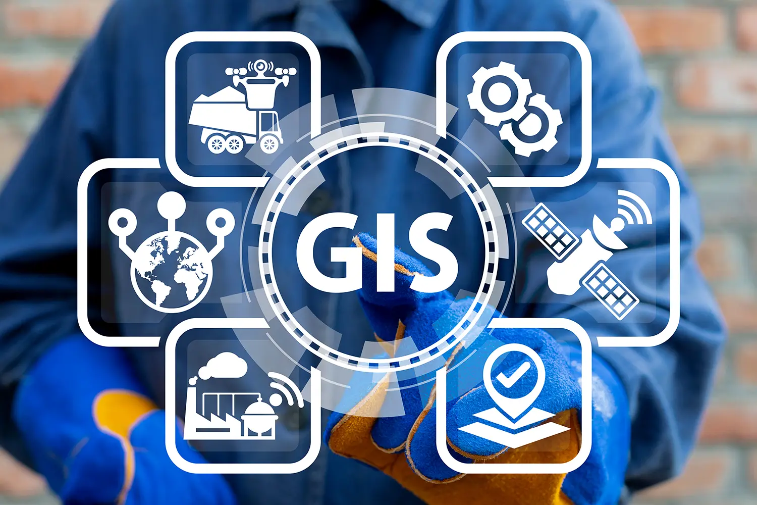
Geographic Information Systems (GIS) technology is rapidly evolving, with new trends emerging all the time. As a leading provider of GIS solutions, Zerion Software is well-positioned to help organizations stay up-to-date with these trends and take advantage of the latest GIS technologies.
1. Cloud-based GIS
One of the most significant trends in GIS technology is the move to cloud-based systems. With cloud-based GIS, organizations can easily store, access and share large amounts of data, while also reducing IT costs and streamlining workflows. This allows organizations to focus on their core business operations, while leaving the management of the GIS infrastructure to a trusted provider.
2. Location-based Services
With the rise of location-based services, GIS technology is becoming increasingly integrated with other technologies such as mobile devices and the Internet of Things (IoT). This allows organizations to collect, analyze, and act on real-time location-based data, which can provide valuable insights and help to improve decision-making.
3. Big Data and Machine Learning
Big Data and Machine learning are becoming important in GIS technology, as GIS datasets are becoming larger and more complex. With the ability to process large amounts of data quickly and efficiently, GIS can provide insights that were previously not possible, leading to better decision making for organization.
4. 3D Modeling and Visualization
3D modeling and visualization is an area that is seeing rapid growth in the GIS space, allowing for more realistic representation of the earth’s surface, buildings, and other structures. This technology allows organizations to analyze and understand their data in new and exciting ways, opening up new possibilities for planning, analysis, and design.
5. Augmented Reality
GIS and AR are becoming integrated to provide more immersive and interactive experiences for users. This can provide valuable information that would not be possible through traditional 2D maps, improving wayfinding and navigation, as well as enhancing maintenance and safety.
GIS technology is constantly evolving, and organizations must stay up-to-date with the latest trends in order to remain competitive. By keeping an eye on these trends and working with a trusted provider like Zerion Software, organizations can take advantage of the latest GIS technologies and stay ahead of the curve. With a wide range of GIS solutions, Zerion Software is well-positioned to help organizations navigate the rapidly changing GIS landscape.


